|
This example was done previously in the buffer discussion. The learner may wish to repeat the procedure in the IDE so that a comparison on the similarities and differences can be made.
|
|
|
Figure 2 shows the raw data prior to inputting the script. In the first line of the code in Figure 3, the environment module is imported. The next line of code sets the workspace, so only the file names are required and not a complete pathway, the learner’s pathway will be different. The names of the input and output files are defined as string variables. If the name of the output file is still contained within the geodatabase from when the Buffering lesson was completed, that file name must be removed or a different name used. The code will not over write an existing file. The radius is defined as another variable and it is a string, it must be a string since the variable contains the units that are required. The final line of the script is the functional line of code, which is executing an operational buffer command. The results of the buffer command completed a 25-mile radius around each point with no dissolve; see Figure 4
|
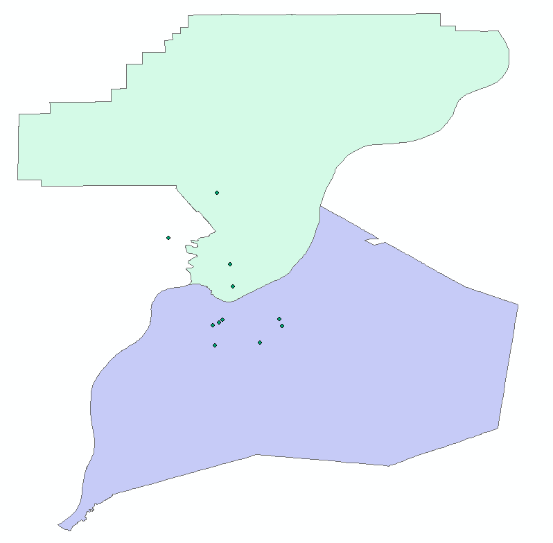
Figure 2: Clark and Jefferson Counties and selected points
|
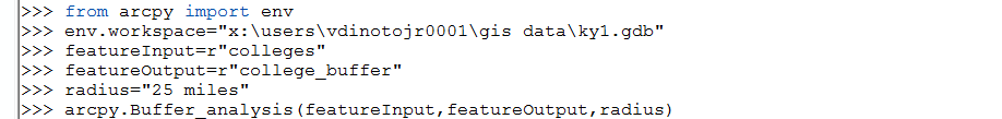
Figure 3: Buffering Script
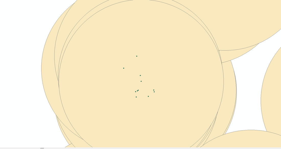
Figure 4: Buffer Results
